Valia Calda: Hiking the Arkoudorema in Greece’s Wildest Valley
There is a valley in the northern Pindos where the trail crosses the same stream eleven times, the beech forest closes overhead like a roof, and the only footprints on the sandbanks that are not yours may belong to a bear. Its name is Valia Calda — the warm valley in Aromanian, the language of the Vlach shepherds who have grazed these slopes for centuries — and it is the least visited of the great Pindos destinations.
That is the whole point. Vikos gets the coaches. Drakolimni gets the Instagram posts. Valia Calda gets people who are willing to drive a rough forest track to reach a trailhead with no cafe, no ticket office and no signal, and then walk for seven hours through one of the last genuinely wild forests in southern Europe. This guide covers what the valley actually is, what the Arkoudorema trail involves, when to come, and what you need to know before you do.
| Park | Pindus National Park (Valia Calda), declared 1966 |
|---|---|
| Size | 6,927 hectares, with a strictly protected core of 3,360 ha |
| Highest peak | Avgo, 2,177 m |
| Classic route | Refuge – Aoos – Arkoudorema and back |
| Distance | 17 km round trip |
| Time on foot | 7–8 hours |
| Altitude | Start 1,000 m, high point 1,230 m, total ascent about 800 m |
| Difficulty | Moderate. Long, not steep. Repeated river crossings. |
| Best months | Late May to mid-October. October for the colour. |
| Nearest villages | Vovousa, Perivoli, Milea, Metsovo |
What Valia Calda Actually Is
Valia Calda is the core of the Pindus National Park, declared in 1966 and one of the oldest protected areas in Greece. It is small — under 70 square kilometres — and that smallness is deliberate: the 3,360-hectare core zone is a strict reserve, not a recreation area. There are no villages inside it, no roads through it and no development of any kind. What there is, is forest.
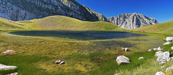
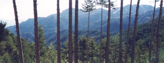
The structure of that forest changes as you climb. Between roughly 1,000 and 1,600 metres it is European black pine and common beech, dense and dark, the kind of woodland that swallows sound. Between 1,600 and 1,900 metres the Bosnian pine takes over, gnarled and wind-shaped and often centuries old. Above 1,900 metres the trees stop and the alpine meadows begin, and on the shoulder of Mavrovouni sit the two Flega lakes at 1,960 and 1,940 metres — dragon lakes, like the more famous Drakolimni on Mount Tymfi. Their overflow drains down into the valley and feeds the stream this walk is named after.
Three small rivers run through the park, all of them clear enough to read the stones on the bottom. The Aoos, which you will cross, rises near here and eventually carves the gorge that shares its name.
The Arkoudorema Trail
Arkoudorema means bear stream. The route is the classic day out in Valia Calda and it works like this.
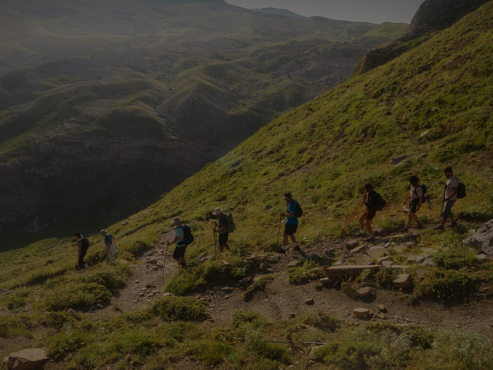
You start at the Valia Calda refuge, at about 1,000 metres, and drop immediately into the forest, descending through beech towards the Aoos. The first hour is downhill and deceptively easy — remember that you are banking every metre of it for the way home. You ford the Aoos, which in October is shin-deep and cold enough to focus the mind, and pick up the waymarked path on the far bank that runs deeper into the valley.
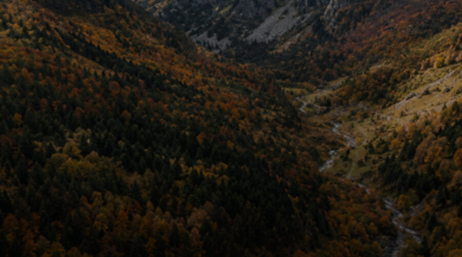
From there the trail follows the Arkoudorema itself, and this is the part people remember. The path stays with the stream, crossing and recrossing it, through forest that is almost continuous canopy. There are pools deep enough to swim in if the season and your nerve allow. The valley walls rise on both sides. The high point of the walk is only 1,230 metres, so this is not a route that rewards you with a summit view — the reward is the forest floor, and it is enough.
Seventeen kilometres, seven to eight hours, around 800 metres of cumulative ascent. The technical difficulty is low and the grading is moderate, but do not mistake moderate for short. The crossings are the variable: after heavy rain the same fords that were ankle-deep in the morning can be thigh-deep and pushy by late afternoon, and there is no bridge and no shortcut out of the valley. Turning around early is always the right call here.
The Bears Are Real
The stream is not named for decoration. The Pindos range holds one of the two brown bear nuclei in Greece, and the national population is now estimated at roughly 750 animals — a number that has been rising since the mid-1990s as bears naturally recolonise ground they had been pushed out of a century ago. Valia Calda is one of their strongholds.
You will almost certainly not see one. Bears here avoid people with considerable skill, and the realistic outcome of a day in the valley is tracks in the mud by the stream, a turned-over log, or scat on the path. Wolves are present year-round and are even less likely to show themselves. What you have a genuine chance of seeing is the Balkan chamois on the rock above the treeline, roe deer at the forest edge at dawn, wild boar sign almost everywhere, and — if you are patient by the water — an otter. The park records over eighty bird species.
Sensible practice is the same as anywhere with bears: make noise on blind corners, keep food sealed and away from your tent, do not walk the valley alone at dusk, and never approach or photograph a cub. A bear that hears you coming will be gone before you know it was there, which is exactly the outcome everyone wants.
When to Go
The season runs from late May to mid-October, and the two ends of it are very different walks.
Spring, from late May into June, is the valley at full volume: high water, wildflowers on the meadows, everything loud and green. The river crossings are at their most serious, and some years the upper trails still hold snow into early June.
Autumn is the better bet, and October is the best month of the year to be here. The beech turns copper and gold, the crowds — such as they ever are — disappear entirely, the water drops to an easy level, and the light through the canopy is the reason photographers make the drive. Nights get cold quickly, though: expect single figures at the refuge by mid-October.
High summer works but is the least interesting version of the valley. Afternoon thunderstorms build over the Pindos through July and August with very little warning, which is a real consideration when your route involves fording a river on the way back.
Winter is for experienced mountaineers with the right equipment, and the access track is usually impassable anyway.
What to Pack
- Boots you do not mind soaking, plus a spare pair of socks in a dry bag. The crossings are the defining feature of this trail and you will not keep your feet dry.
- Trekking poles. Not optional on wet river stones, and they take the load off on the long climb back to the refuge.
- At least two litres of water per person. The stream water is clean but treat it if you refill.
- A warm layer and a waterproof, whatever the forecast said in Ioannina. The valley makes its own weather.
- An offline map downloaded in advance. There is no mobile signal for most of the route.
- A head torch. If the crossings slow you down, the last hour through the forest can be darker than you planned for.
- Food for the whole day. There is nothing on the trail, and nothing at the trailhead either.
Getting There
The valley sits between Epirus and western Macedonia, and the practical bases are Metsovo to the south, Vovousa to the east on the Aoos, and Perivoli or Milea to the north. Metsovo is the easiest to reach — it is directly on the Egnatia motorway, about an hour from Ioannina and two and a half from Thessaloniki.
From whichever village you choose, the last stretch to the refuge is an unsurfaced forest track. It is manageable in a normal car in dry conditions if you drive it slowly and carefully, and it is not manageable at all after sustained rain. A high-clearance vehicle removes the question entirely. There is no public transport to the trailhead and no taxi that will wait for you there.
Where to Stay
The refuge at the trailhead is the obvious base, with tent pitches and basic facilities, and it is the option that lets you be walking at first light — which matters on a seven-hour route. Vovousa is the most atmospheric village option, a small stone settlement on the Aoos with an arched bridge and a handful of guesthouses. Metsovo has the most beds and the most comfortable ones, but adds an hour of driving to each end of your day.
Book ahead for October. There are not many rooms in these villages and the autumn weekends fill.
How It Compares to the Other Pindos Classics
If you are choosing between the big northern routes, it helps to know what each one actually gives you. Vikos Gorge is the spectacle: vertical walls, a world record, and the most dramatic single day of walking in Greece. Smolikas is the summit — the second-highest peak in the country, with the altitude and the effort that implies. Drakolimni on Tymfi is the night out: a high alpine lake, newts in the shallows, stars.
Valia Calda is none of those. It is the quietest and the wildest, the one with no view to reward you and no crowd to share it with, and the only one of the four where the forest itself is the destination. People who walk it tend to rate it above all of them, and they tend to be slightly reluctant to explain why.
Frequently Asked Questions
Is Valia Calda difficult? The terrain is not technical and the high point is only 1,230 metres, so there is no exposure and no scrambling. What makes it demanding is length — 17 kilometres and seven to eight hours — and the river crossings. If you can comfortably manage a full day on your feet, you can manage this.
Can I hike Valia Calda without a guide? Yes, and people do. But the route is waymarked rather than signposted, there is no phone signal, the fords change with the weather, and the access track alone turns back a lot of first-timers. A guide who knows the crossings is worth it here in a way it is not on a busier trail.
Will I see a bear? Realistically, no. Tracks and signs, quite possibly. That is the correct outcome and the one that means the population is healthy.
Can I swim? There are pools on the Arkoudorema deep enough for it. The water comes off the high Pindos and it is cold in every month of the year.
Is wild camping allowed? Not in the core zone, which is a strict reserve. Camp at the refuge instead.
Walk It With a Local Guide
Foxie works with eSKapex, an Athens-based mountaineering team who run a three-day trip into Valia Calda: two nights at the refuge, the full Arkoudorema route with two mountain leaders, yoga, a professional photographer on the trail, and transport from Athens as an option if you would rather not drive the track yourself.
See the Valia Calda & Arkoudorema trip, 16–18 October, on Foxie →