Hiking Mount Taygetos: The Route to Profitis Ilias
Rising in a dramatic wall above the city of Sparti, Mount Taygetos is the defining landscape of the Peloponnese. At 2,407 metres, its highest point — Profitis Ilias — commands sweeping views across the Gulf of Laconia to the east and the Messinian plain to the west. Taygetos hiking has a long and storied history: the ancient Spartans considered the mountain sacred, and the trails that thread through its limestone gorges and pine forests are among the most rewarding in southern Greece.
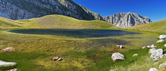
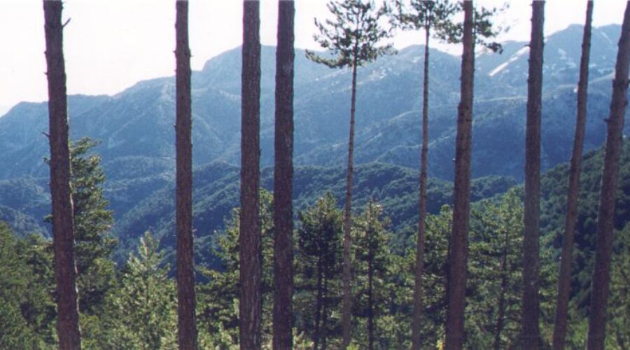
Unlike the alpine mountains of northern Greece, Taygetos has a distinctly Mediterranean character: the lower slopes are covered in Aleppo pine and kermes oak, the middle elevations give way to black pine and fir forest, and the upper ridges are bare limestone with sparse alpine cushion plants. The mountain is part of the Natura 2000 network, and the forests shelter a healthy population of griffon vultures, which are often seen riding thermals above the cliffs.
About Mount Taygetos
The Taygetos massif stretches roughly 75 kilometres from north to south, forming the boundary between Laconia and Messinia. The main ridge is a series of jagged limestone towers and spires, with the summit pyramid of Profitis Ilias capped by a small chapel — a common feature of Greek high peaks, where the prophet Elijah is traditionally venerated at places closest to the sky.
The mountain is divided into several distinct zones. The Langada Gorge on the eastern side offers a spectacular lower approach, while the high plateau below the summit — known as the Taygetos Plateau — provides a broad, flat staging area for the final ascent. In winter, the upper slopes receive heavy snowfall and are popular with ski mountaineers; in summer, Taygetos hiking is a serious but non-technical undertaking for prepared hikers.
The Route to Profitis Ilias
The standard route for Taygetos hiking begins from the village of Palaeopanagia (also written Palaiapanagias), located on the western slope of the mountain above the town of Sparti. From the trailhead at around 1,100m, the path climbs through dense black pine forest, following well-marked trails maintained by the Sparti Alpine Club. The route gains approximately 1,300 vertical metres over a distance of around 10 kilometres one way, with the ascent taking 4 to 5 hours at a comfortable pace.
An alternative — and more dramatic — approach follows the Langada Gorge from the east. This route is longer and more complex, but the gorge scenery is extraordinary: sheer limestone walls, seasonal waterfalls, and the ruins of the ancient road that once connected Sparta to Messenia. The two routes can be combined as a challenging point-to-point traverse with vehicle logistics at each end.
The upper mountain is treeless and exposed. Above 2,000m the trail crosses a boulder field before reaching the summit ridge, where the small chapel of Profitis Ilias stands at the highest point. On a clear day, the Aegean Sea is visible to the east, and on exceptional days you can see as far as the island of Crete to the south.
The Ridge Walk
One of the great pleasures of Taygetos hiking is the high-level ridge walk that extends north and south from the summit. The ridge is knife-edged in places but mostly walkable without exposure, offering continuous panoramas across the Peloponnese. To the west, the Messinian plain stretches to the sea; to the east, the Vale of Sparta lies far below, with the ancient city’s ruins just visible in the haze. Experienced hikers often spend two days on the mountain, camping on the plateau and walking the full ridge before descending.
When to Hike Taygetos
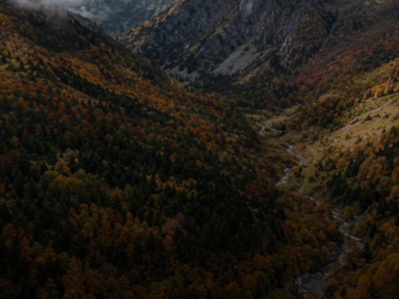
The optimal season for Taygetos hiking is May through October. Unlike the mountains of northern Greece, Taygetos snowmelt comes earlier due to its more southerly latitude and Mediterranean climate, and conditions on the upper mountain are usually safe from mid-May onwards. June is excellent: the forests are lush, the wildflowers are in full bloom, and the temperatures are warm but not oppressive. July and August can be hot in the lower forest zones — an early morning start is essential. September and October bring cooler, crisp air and stunning autumn colours in the pine forest.
Afternoon thunderstorms are possible from June through August, particularly over the highest ridges. Aim to be off the exposed summit and ridge by early afternoon.
What to Bring
Sturdy hiking boots with ankle support are essential for the rocky upper trails. Bring at least 2 litres of water per person — sources are scarce above the treeline — along with sun protection, warm layers for the summit (temperatures can drop sharply even in summer), and a headtorch in case the descent runs late. Navigation aids — a downloaded GPS track or a paper map of the area — are recommended, as the upper trail can be hard to follow across the open plateau.
Guided Taygetos Hiking with Foxie
Taygetos rewards those who come prepared, and even more so those who come with a guide who knows the mountain intimately. Foxie runs a guided two-day ascent of the Κορυφή Ταΰγετου in June, departing from Sparti with an experienced local mountain guide who brings the history, ecology, and hidden character of this remarkable peak to life.